Restaurant nearby Domino's Pizza
Coronavirus disease (COVID-19) Situation
confirmed cases
209906
deaths
229
Iceland
Restaurant nearby Domino's Pizza
Domino's Pizza
1, Rjúpnasalir, 201, Kópavogur, IS Island
contacts phone
:
+354 581 2345
website:
www.dominos.is
Latitude:
64.0904299
, Longitude:
-21.8428904
larger map & directions
read more
nearest Restaurant
14 m
Sala Grill
Rjúpnasalir, Kópavogur
Restaurant
read more
585 m
ARA Restaurant
1, Búðakór, Kópavogur
Restaurant
read more
887 m
Glersalurinn
Salavegur 2, Kópavogur
Restaurant
read more
1.769 km
Pizzan
Núpalind 1, Kópavogur
Restaurant
read more
1.817 km
Íslenska Flatbakan
Kópavogur
Restaurant
read more
1.827 km
Íslenska Flatbakan
Bæjarlind 2, Kópavogur
Restaurant
read more
1.859 km
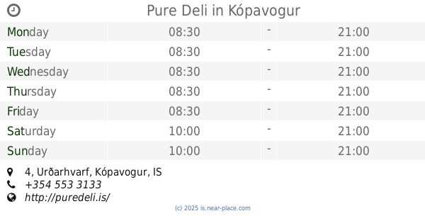
Pure Deli
Urðarhvarf 4, Kópavogur
Restaurant
read more
1.94 km
Skalli
Ögurhvarf, Kópavogur
Restaurant
read more
1.98 km
Krua Thai
Bæjarlind 14, Kópavogur
Restaurant
read more
2.101 km
KFC
Bæjarlind 18, Kópavogur
Restaurant
read more
2.121 km
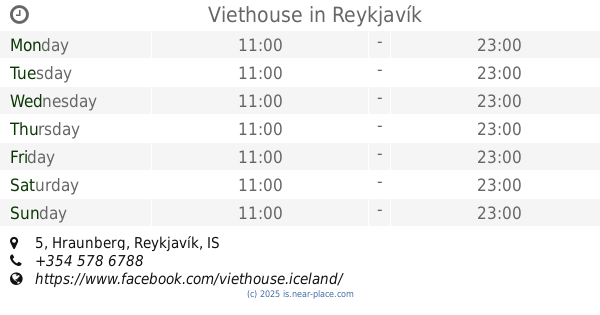
Viethouse
Hraunberg 5, Reykjavík
Restaurant
read more
2.123 km
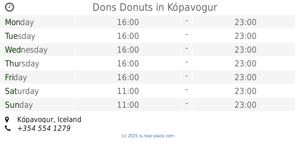
Dons Donuts
Kópavogur
Restaurant
read more
2.163 km
Hamborgarabúlla Tómasar
16A, Dalvegur, Kópavogur
Restaurant
read more
2.182 km
TGI Friday's
Kópavogur
Restaurant
read more
2.198 km
Pizza Hut
1, Hagasmári, Kópavogur
Restaurant
read more
2.215 km
O'Learys
Hagasmári 1, Kópavogur
Restaurant
read more
2.22 km
Wok On
Smárinn, Kópavogur
Restaurant
read more
2.233 km
Saffran
Kópavogur
Restaurant
read more
2.237 km
Eldsmiðjan
Dalvegur, Kópavogur
Restaurant
read more
2.237 km
Gló
Hæðasmári, Kópavogur
Restaurant
read more
2.252 km
Castello Pizzeria
Dalvegur 2, Kópavogur
Restaurant
read more
2.282 km
Food Station
Kópavogur
Restaurant
read more
2.285 km
Café Adesso
201, Kópavogur
Restaurant
read more
2.296 km
Sbarro
Smáralind, Hagasmári 1, Kópavogur
Restaurant
read more
2.352 km
Metro
Kópavogur
Restaurant
read more
📑
all categories
Accounting
Administrative area level 1
Administrative area level 2
Airport
Amusement park
Aquarium
Art gallery
Atm
Bakery
Bank
Bar
Beauty salon
Bicycle store
Book store
Bowling alley
Bus station
Cafe
Campground
Car dealer
Car rental
Car repair
Car wash
Casino
Cemetery
Church
City hall
Clothing store
Convenience store
Country
Courthouse
Dentist
Department store
Doctor
Electrician
Electronics store
Embassy
Establishment
Finance
Fire station
Florist
Food
Funeral home
Furniture store
Gas station
General contractor
Grocery or supermarket
Gym
Hair care
Hardware store
Health
Hindu Temple
Home goods store
Hospital
Insurance agency
Jewelry store
Laundry
Lawyer
Library
Liquor store
Local government office
Locality
Locksmith
Lodging
Meal delivery
Meal takeaway
Mosque
Movie theater
Moving company
Museum
Natural feature
Neighborhood
Night club
Painter
Park
Parking
Pet store
Pharmacy
Physiotherapist
Place of worship
Plumber
Point of interest
Police
Post office
Premise
Real estate agency
Restaurant
Route
Rv park, camping
School
Shoe store
Shopping mall
Spa
Stadium
Storage
Store
Subpremise
Supermarket
Synagogue
Taxi stand
Transit station
Travel agency
University
Veterinary care
Zoo
sublocality level 1
↑