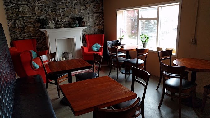
Cafe nearby Dunkin' Donuts
Iceland
Cafe nearby Dunkin' Donuts
Dunkin' Donuts
Island
contacts phone
:
+354 431 1110
website:
dunkindonuts.is
Latitude:
63.9960785
, Longitude:
-22.6234812
larger map & directions
read more
nearest Cafe
12 m
Segafredo
Flugþjónustan Keflavíkurflugvelli, Fálkavöllur 2
Cafe
read more
21 m
JOE & THE JUICE
Flugþjónustan Keflavíkurflugvelli, Fálkavöllur 2, Keflavík
Cafe
read more
287 m
Joe & The Juice
Keflavik Airport Southside, Keflavík
Cafe
read more
3.424 km
Café Keflavik
Hafnargata 28, Keflavík
Cafe
read more
3.741 km
Cafe petite
23,, Framnesvegur, Reykjanesbær
Cafe
read more
3.825 km
Keflavik Kwatera
Bakkastígur, Reykjanesbær
Cafe
read more
3.978 km
Ráðhúskaffi
Tjarnargata 12, Keflavík
Cafe
read more
4.598 km
Handverk I Havegum Haft Bakery
Njardvik
Cafe
read more
4.738 km
Dunkin' Donuts
Fitjar, Reykjanesbær
Cafe
read more
7.747 km
Skólinn
Hafnir
Cafe
read more
15.894 km
Northern Light Inn & Max's Restaurant
Norðurljósavegur 1, Grindavík
Cafe
read more
16.461 km
Southern Peninsula, Iceland
Iceland
Cafe
read more
18.966 km
Hérastubbur Bakarí
Gerðavellir, Grindavík
Cafe
read more
33.261 km
Pallett
Strandgata 75, Hafnarfjörður
Cafe
read more
36.713 km
Kökubankinn
Gardabaer
Cafe
read more
36.726 km
Te & Kaffi
Menntavegur 1, Reykjavík
Cafe
read more
37.165 km
Micro Roast - Te & Kaffi
Aðalstræti 9, Reykjavík
Cafe
read more
37.27 km
Reykjavík Röst
Geirsgata 5, Reykjavík
Cafe
read more
37.288 km
The Laundromat Cafe
Austurstræti 9, Reykjavík
Cafe
read more
37.417 km
Te & Kaffi
Hafnarstræti 20, Reykjavík
Cafe
read more
37.466 km
Málum og Skálum
Auðbrekku 6, Kópavogi
Cafe
read more
37.489 km
Kaffifélagið
Skólavörðustígur 10, Reykjavík
Cafe
read more
37.841 km
Kruðerí
18, Nýbýlavegur, Kópavogur
Cafe
read more
44.275 km
Lesbókin CAFÈ
Akranes
Cafe
read more
45.637 km
Garðakaffi
Garðagrund, Akranes
Cafe
read more
📑
all categories
Accounting
Administrative area level 1
Administrative area level 2
Airport
Amusement park
Aquarium
Art gallery
Atm
Bakery
Bank
Bar
Beauty salon
Bicycle store
Book store
Bowling alley
Bus station
Cafe
Campground
Car dealer
Car rental
Car repair
Car wash
Casino
Cemetery
Church
City hall
Clothing store
Convenience store
Country
Courthouse
Dentist
Department store
Doctor
Electrician
Electronics store
Embassy
Establishment
Finance
Fire station
Florist
Food
Funeral home
Furniture store
Gas station
General contractor
Grocery or supermarket
Gym
Hair care
Hardware store
Health
Hindu Temple
Home goods store
Hospital
Insurance agency
Jewelry store
Laundry
Lawyer
Library
Liquor store
Local government office
Locality
Locksmith
Lodging
Meal delivery
Meal takeaway
Mosque
Movie theater
Moving company
Museum
Natural feature
Neighborhood
Night club
Painter
Park
Parking
Pet store
Pharmacy
Physiotherapist
Place of worship
Plumber
Point of interest
Police
Post office
Premise
Real estate agency
Restaurant
Route
Rv park, camping
School
Shoe store
Shopping mall
Spa
Stadium
Storage
Store
Subpremise
Supermarket
Synagogue
Taxi stand
Transit station
Travel agency
University
Veterinary care
Zoo
sublocality level 1
↑