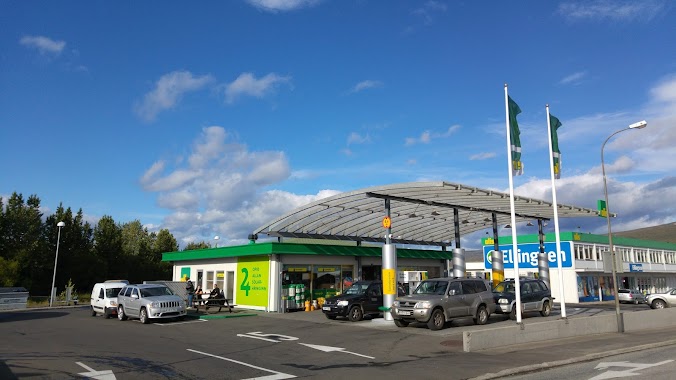
Gas station nearby N1 Grenivík
Iceland
Gas station nearby N1 Grenivík
N1 Grenivík
3, Túngata, Grenivík, IS Island
contacts phone
:
+354 861 6612
website:
www.n1.is
Latitude:
65.9468773
, Longitude:
-18.1808011
larger map & directions
read more
nearest Gas station
7.891 km
Orkan
Hafnarbraut, Dalvík
Gas station
read more
7.892 km
Orkan
Hafnarbraut
Gas station
read more
9.743 km
N1 Hrísey
Hrisey
Gas station
read more
15.95 km
Olís
Skíðabraut 21, Dalvík
Gas station
read more
15.95 km
Olís Dalvík
Skíðabraut 21, Dalvík
Gas station
read more
15.954 km
N1
Sunnutún, Dalvík
Gas station
read more
25.404 km
Olís
Bylgjubyggð 2, Ólafsfjörður
Gas station
read more
25.404 km
Olís Ólafsfjörður
Bylgjubyggð 2, Ólafsfjörður
Gas station
read more
28.039 km
Skeljungur
Hörgárbraut, Akureyri
Gas station
read more
28.656 km
N1
Hörgárbraut, Akureyri
Gas station
read more
28.661 km
N1
Þjóðvegur, Akureyri
Gas station
read more
28.818 km
Orkan
17, Furuvöllum, Akureyri
Gas station
read more
28.819 km
Orkan
Furuvöllum, 17, Akureyri
Gas station
read more
28.834 km
N1
600, Tryggvabraut, Akureyri
Gas station
read more
28.88 km
Olís Akureyri
Tryggvabraut 1, Akureyri
Gas station
read more
29.575 km
ÓB BSO
Strandgata, Akureyri
Gas station
read more
29.897 km
Orkan
Mýrarvegi, Akureyri
Gas station
read more
31.007 km
Orkan X
Kjarnagata 2, Akureyri
Gas station
read more
31.031 km
Orkan X
Kjarnagötu 2, Akureyri
Gas station
read more
31.139 km
N1
Leiruvegur, Akureyri
Gas station
read more
39.246 km
Olís Húsavík
Garðarsbraut 64, Húsavík
Gas station
read more
39.246 km
Olís
Garðarsbraut 64, Húsavík
Gas station
read more
39.487 km
N1
Héðinsbraut 2, Húsavík
Gas station
read more
39.49 km
Orkan
Héðinsbraut 6, Húsavík
Gas station
read more
41.164 km
N1 petrol
Iceland
Gas station
read more
📑
all categories
Accounting
Administrative area level 1
Administrative area level 2
Airport
Amusement park
Aquarium
Art gallery
Atm
Bakery
Bank
Bar
Beauty salon
Bicycle store
Book store
Bowling alley
Bus station
Cafe
Campground
Car dealer
Car rental
Car repair
Car wash
Casino
Cemetery
Church
City hall
Clothing store
Convenience store
Country
Courthouse
Dentist
Department store
Doctor
Electrician
Electronics store
Embassy
Establishment
Finance
Fire station
Florist
Food
Funeral home
Furniture store
Gas station
General contractor
Grocery or supermarket
Gym
Hair care
Hardware store
Health
Hindu Temple
Home goods store
Hospital
Insurance agency
Jewelry store
Laundry
Lawyer
Library
Liquor store
Local government office
Locality
Locksmith
Lodging
Meal delivery
Meal takeaway
Mosque
Movie theater
Moving company
Museum
Natural feature
Neighborhood
Night club
Painter
Park
Parking
Pet store
Pharmacy
Physiotherapist
Place of worship
Plumber
Point of interest
Police
Post office
Premise
Real estate agency
Restaurant
Route
Rv park, camping
School
Shoe store
Shopping mall
Spa
Stadium
Storage
Store
Subpremise
Supermarket
Synagogue
Taxi stand
Transit station
Travel agency
University
Veterinary care
Zoo
sublocality level 1
↑